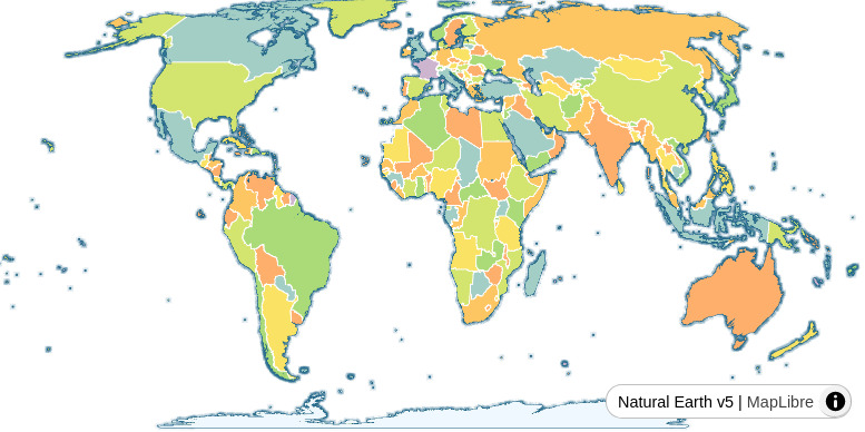
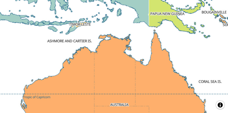
Interactive web mapping with Equal Earth projection

Pirmin Kalberer @implgeo

FOSS4G 2026 Hiroshima

About me

Co-founder & developer @ Sourcepole, Switzerland

Web GIS, QGIS and other OSGeo projects

t-rex tile server -> BBOX server

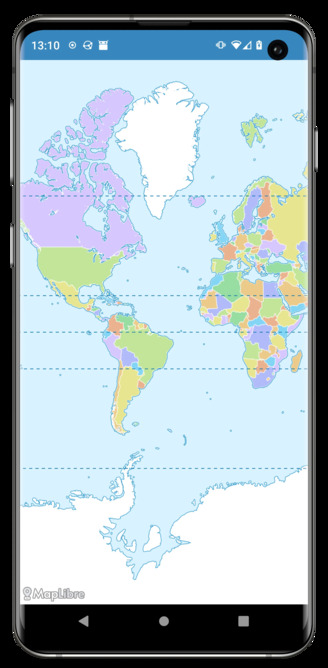
The current state of Web Mapping

  • Web Mercator projection
  • Sometimes a globe

Web Mercator - the bad parts

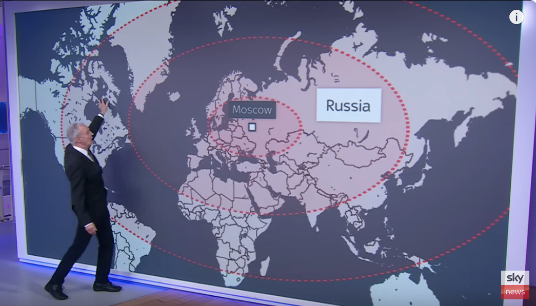
Size distortion

Africa actually has 14 times as much area as Greenland

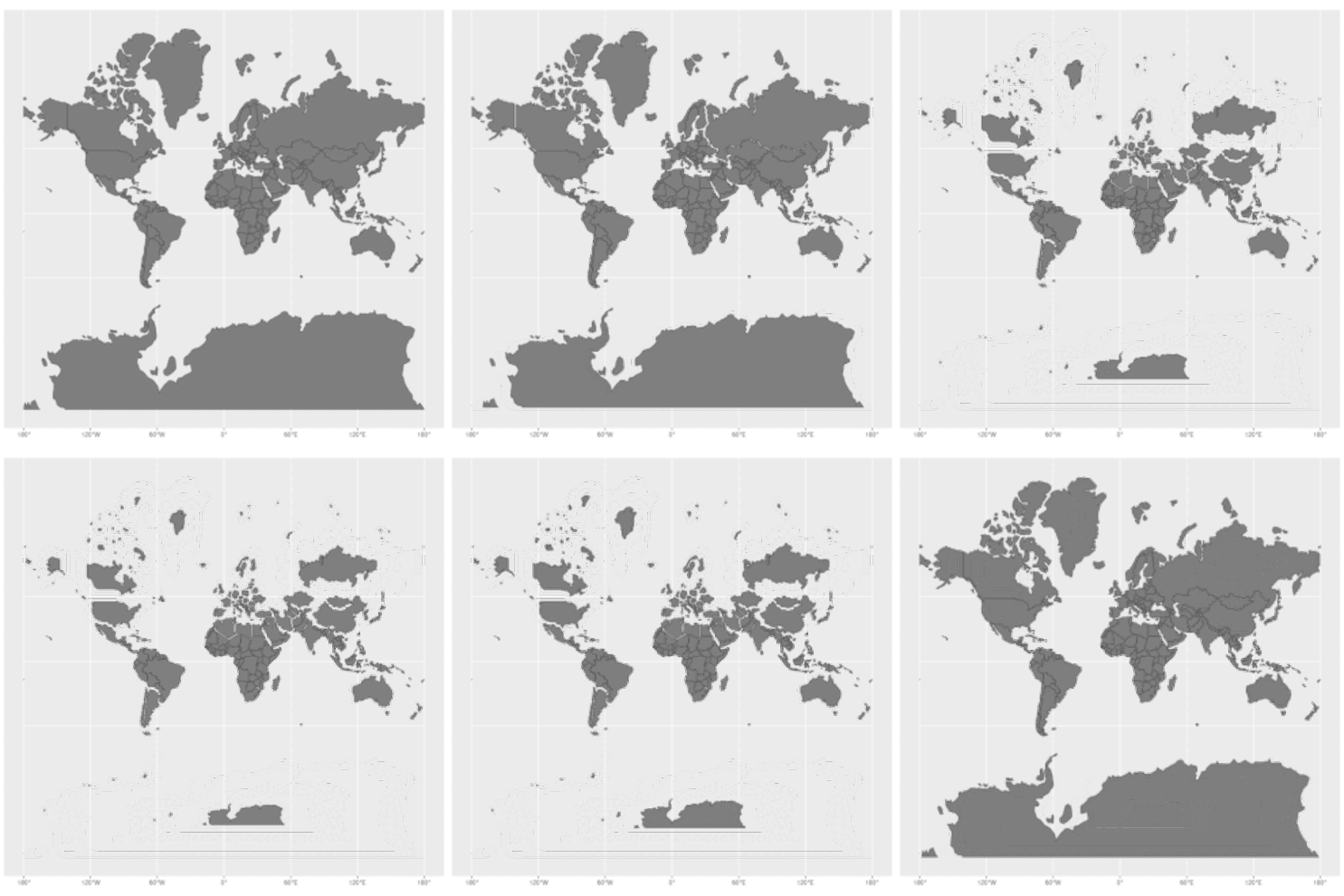
Thematic mapping
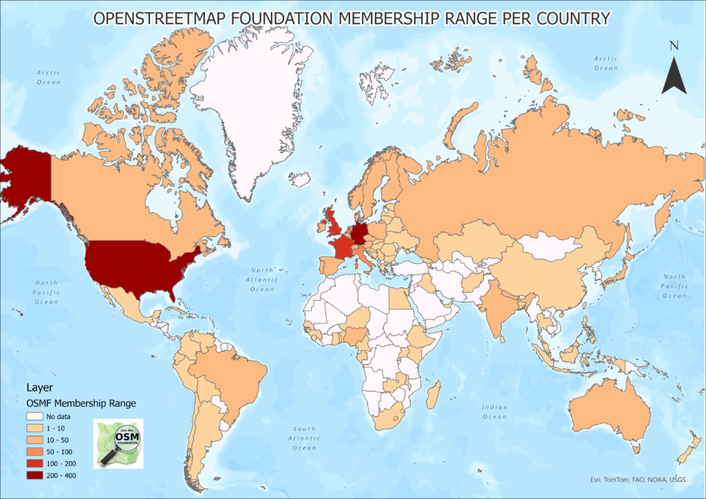
In the wild
Mercator projection
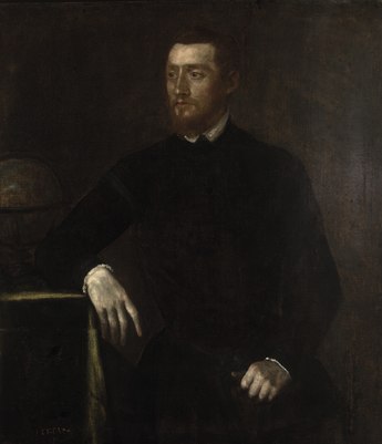
  • Gerardus Mercator, 1569
  • Conformal cylindrical map projection
  • Good for navigation

Web Mercator

  • Mercator projection cropped to ~85°N to 85°S -> square, good for tiling
  • Spherical and ellipsoidal mix of formulas

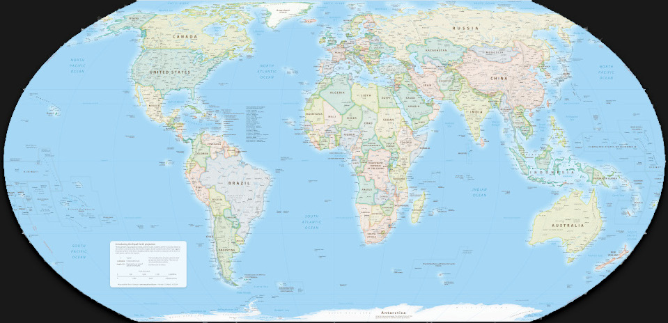
Equal Earth map projection

Bojan Šavrič, Tom Patterson, Bernhard Jenny, 2018

https://www.equal-earth.com/

Equal Earth Greenwich

EPSG:8857

Equal Earth Americas
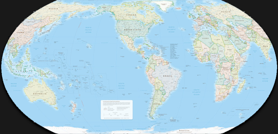
EPSG:8858

Equal Earth Asia-Pacific
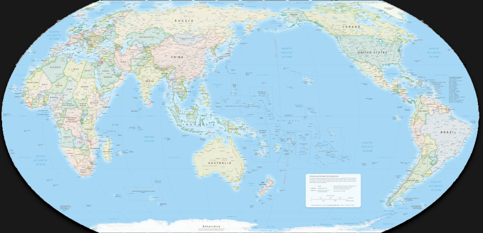
EPSG:8859

Equal Earth Florence
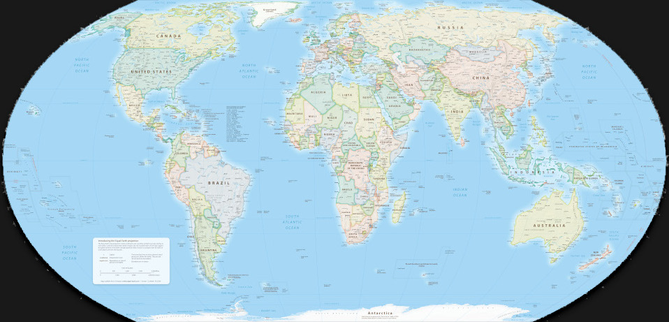
Florence Meridian 11E

Behaviour for interactive maps

Two proposals

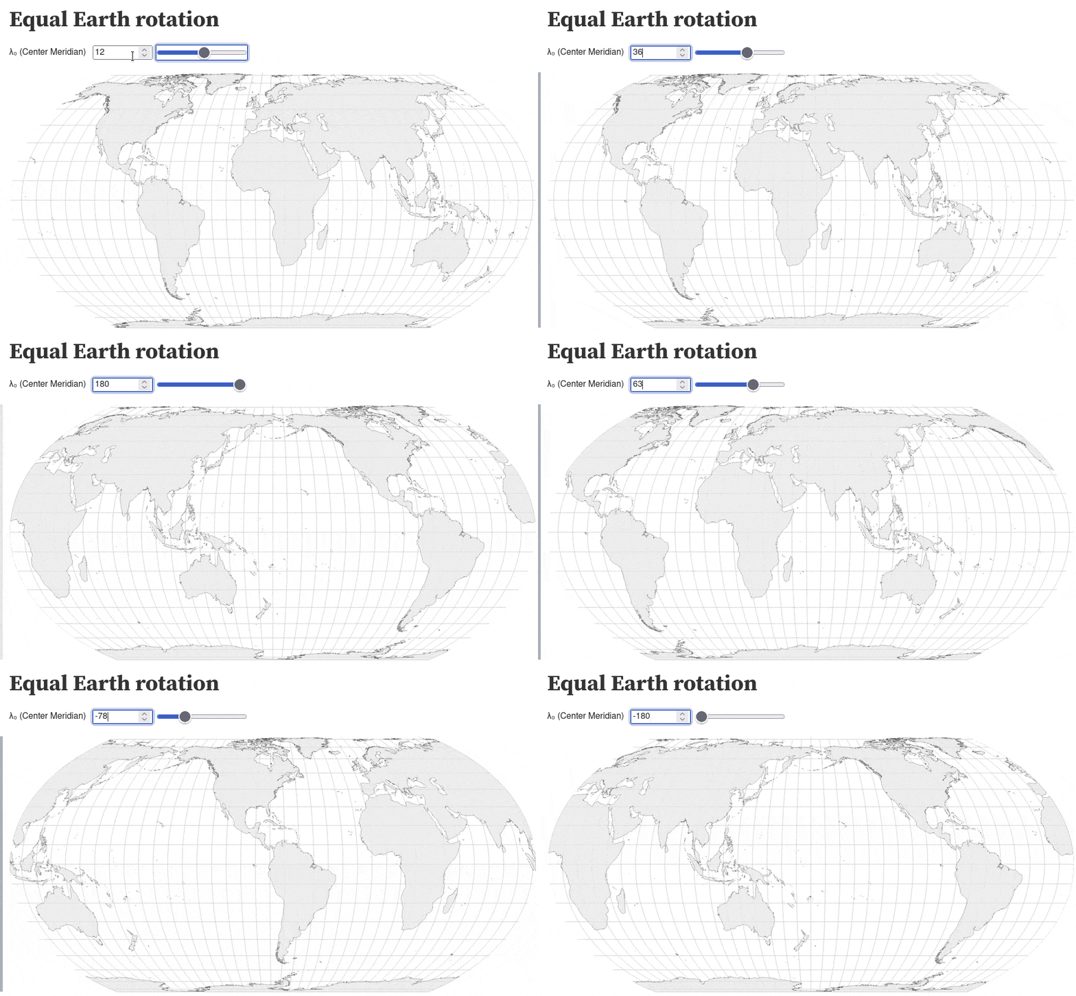
Dynamic center meridian

Interactive example (OpenLayers)

Use Mercator for higher zoom levels

  • World view: Equal earth
  • Regional view: Mercator

Challenges: Antimeridian problems
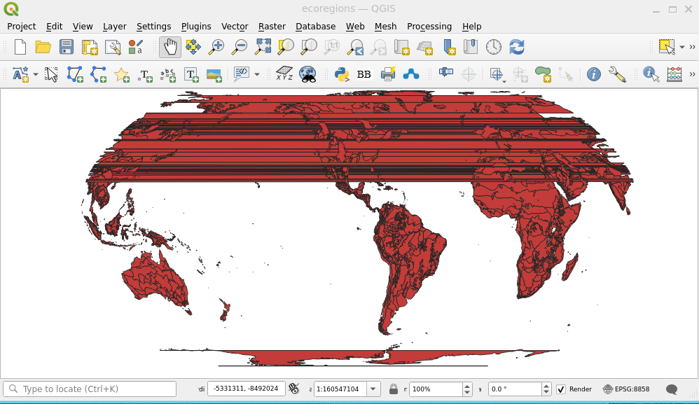
Solutions:

  • Prepare data (split at potential antimeridians)
  • Improve rendering algorithms

Smooth transition Equal Earth -> Mercator
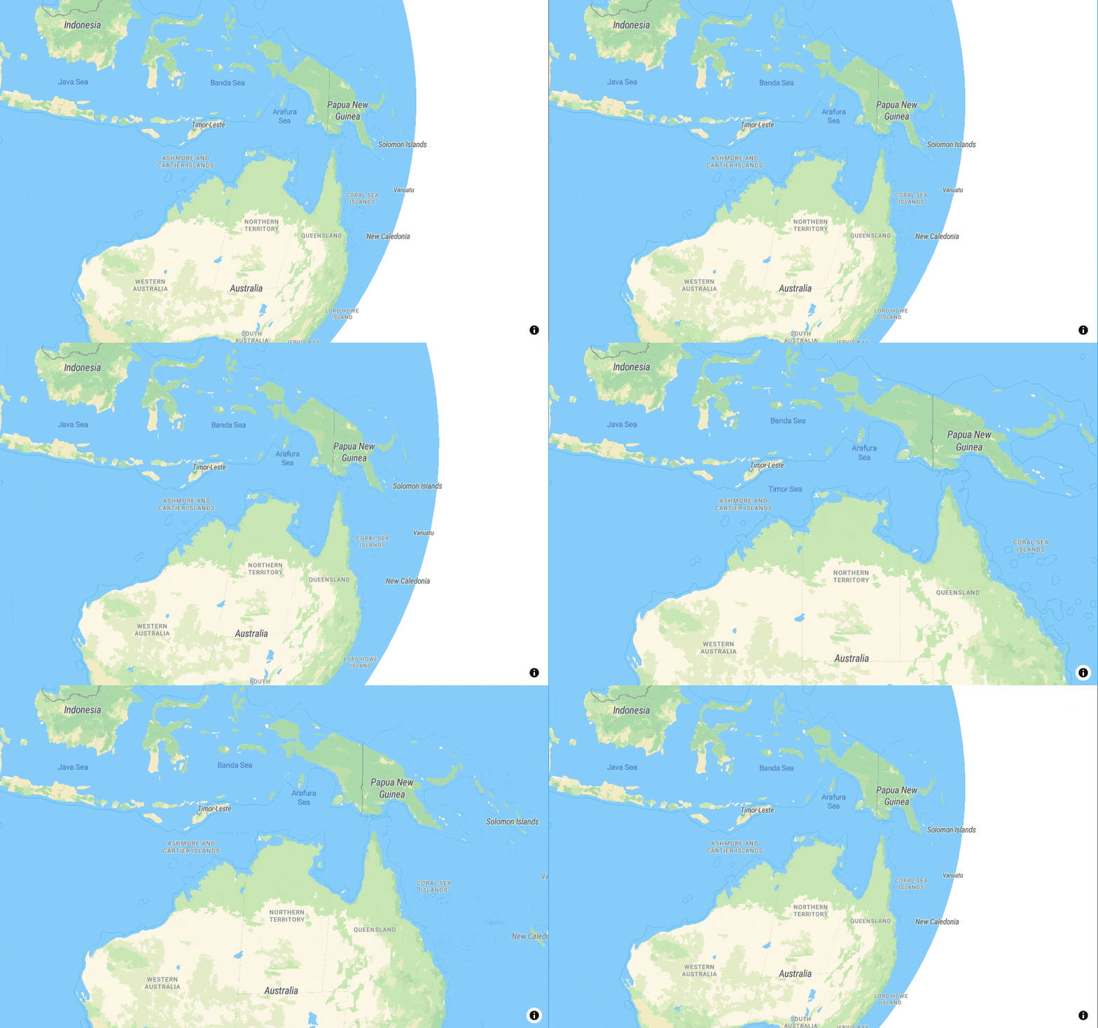
Example: MapLibre globe

Software support

Projection

  • PROJ -> GDAL, QGIS, R
  • proj4js
  • D3

OpenLayers

  • Projection support for raster and vector data
  • Reprojection of vector tiles
  • Support for non-Mercator grids

MapLibre

  • Single tile grid
  • Globe view reprojected from Mercator tiles
  • In development: Equal earth view reprojected from Mercator tiles!

Ways to support Equal Earth

  • Use data in Equal Earth projection
    • Which tile grids?
    • PoC SotM EU 2024: Equal Earth projected data in Mercator grid
  • Reproject data from WGS84 (or Mercator?)

How can you help?

  • Sponsor development
  • Call out bad maps and spread the word
  • Use Equal Earth for world maps

Thank you

Pirmin Kalberer

mapstodon.space/@implgeo